25.06.2018
Small, agile, able to reach any place. Designed to help, facilitate work, provide data, reduce costs. The International Drone Event - annual held at Targi Kielce June brings together professionals from many industries. Business-insiders present the latest and high-class solutions for the UAV use, including commercial applications
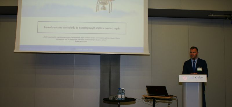
The conference was organized jointly with the Nadowski company and Targi Kielce, under the patronage of the Civil Aviation Office and the Association of Polish Surveyors. Upon the conference start the President of Targi Kielce Andrzej Mochoń PhD. emphasized that the Unmanned Aerial Vehicles industry, although relatively young has been developing at a very dynamic pace - 10 years ago we did not think that drones would create so many possibilities, they would become a vital part of our lives. Today's market value is estimated at 200 million PLN. The drones potential for civilian applications is enormous and one may dare to say - inexhaustible - said Andrzej Mochoń PhD. The versatile UAV use is increasingly recognized and used in search and rescue services - said Radoslaw Zych of the FlyTech UAV company which founded the LOPR association two years ago. This an organization's objective is to help in the rescue operations by employing Unmanned Aerial Vehicles solutions.- Using a drone makes it possible to assess a large area in a short time and reach places inaccessible with the use of traditional methods. In-flight pictures are accurate - it does not matter whether we try to locate someone in the mountains, on a flat surface or in the water. Drones offer excellent support for the services, which is why we have been intensively working on the legal aspects of this kind of utilisation - explained Radosław Zych. Drones for the construction sector. The latest methods for inventory and surveillance measurements and a widespread use of BIM technology for the civil engineering was also discussed during the Targi Kielce conference. The representatives of the Polish Investment and Surveying Consortium- Łukasz Kacprzak and Krzysztof Pietroń discussed the issue. The Building Information Modelling main advantage is the fact that the area inventory is not just a set of lines or surfaces, but also a virtual reflection of the real elements. The method also provides a multitude of additional information, such as the type of materials used for the construction. Therefore this method is more and more often applied in architecture at the design phase as well as in the civil engineering industry. Possible uses include objects and monuments inventory.
Drones in aid of nature
Drones can help in agriculture- Caroline Bailey's speech from the companyPIX4D offered a thorough insight into the problem. The company offers a wide range of products which can be used for terrestrial photos or aerial photogrammetry photos obtained with the use of unmanned aerial vehicles. The PIX4Dthe software has been developed in order to create high quality orthopraphies and3D models which are readily used by various specialist for different applications, e.g. industry analyses. Eater management of an area, deficiency of soil nutrients, vegetation condition, occurrence of parasites - these are just some of the examples. Also Mariusz Kacprzak fromAviation Institute talked about the possible droneuse in which may benefit nature. He mentioned the Hesof project whose objective is innovative technologies integration with innovative forest cultivation methods. This may include use of dronesto assess the oak forests conditions. Aerial photographs acquisition is carried out during the plants vegetation period, i.e. from spring to autumn, not less frequently than once a month. Aeronautical data are correlated with terrestrial observations in order to develop methodologies for well-being measurement of particular trees. An equally important project of the Aviation Institute was the development of the BeeNebulaApp® application - by providing accurate data the user can more precisely apply plant protection products. The application aims to protect bee populations as the regulations prohibit spraying when bees are active.
Industry puts drones high on the priority list
The use of an infrared camera mounted on an unmanned aerial vehicles is a great option for industry - it was Workswell, Jaroslav Bohm company representative. He presented Workswell-developed thermal imaging camera Workswell Wiris equipped with a special software for gas leaks surveillance. This proves very helpful in the oil and gas industry. Łukasz Olszewski from the Vimap company outlined drones use in the energy sector. UAV's help in monitoring, maintenance, operation and prevention of electrical grid failures. The laser scanning advantages for high quality measurement data obtained drone was discussed by Jacek Krawiec, the Riegl brand's distributor. Interestingly, drones can also predict weather with a special system which used GNSS observation data - professor Witold Rohm, University of Life Sciences in Wroclaw presented the topic.
(MM)
Gallery
Recommended news